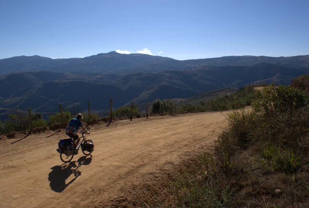
Eindelijk weer fietsen! Op weg naar het Terre des Hommes project in de buurt van Tarabuco.




















Map of the route “12 : Sucre – Tarabuco”: 75.48 km, 5,254 m of climbing and 2,076 m of descent, elevation between 148 m and 3,407 m, time 19:39:48. It starts at -19.05007, -65.25939 and ends at -19.18140, -64.91464 (latitude, longitude).
Total distance: 75.54 km
Max elevation: 3407 m
Min elevation: 148 m
Total climbing: 5254 m
Total descent: 2076 m
Average speed: 4.97 m/s
Total time: 19:44:18
Download file: 20090808-Sucre-Tarabuco.gpx
Max elevation: 3407 m
Min elevation: 148 m
Total climbing: 5254 m
Total descent: 2076 m
Average speed: 4.97 m/s
Total time: 19:44:18