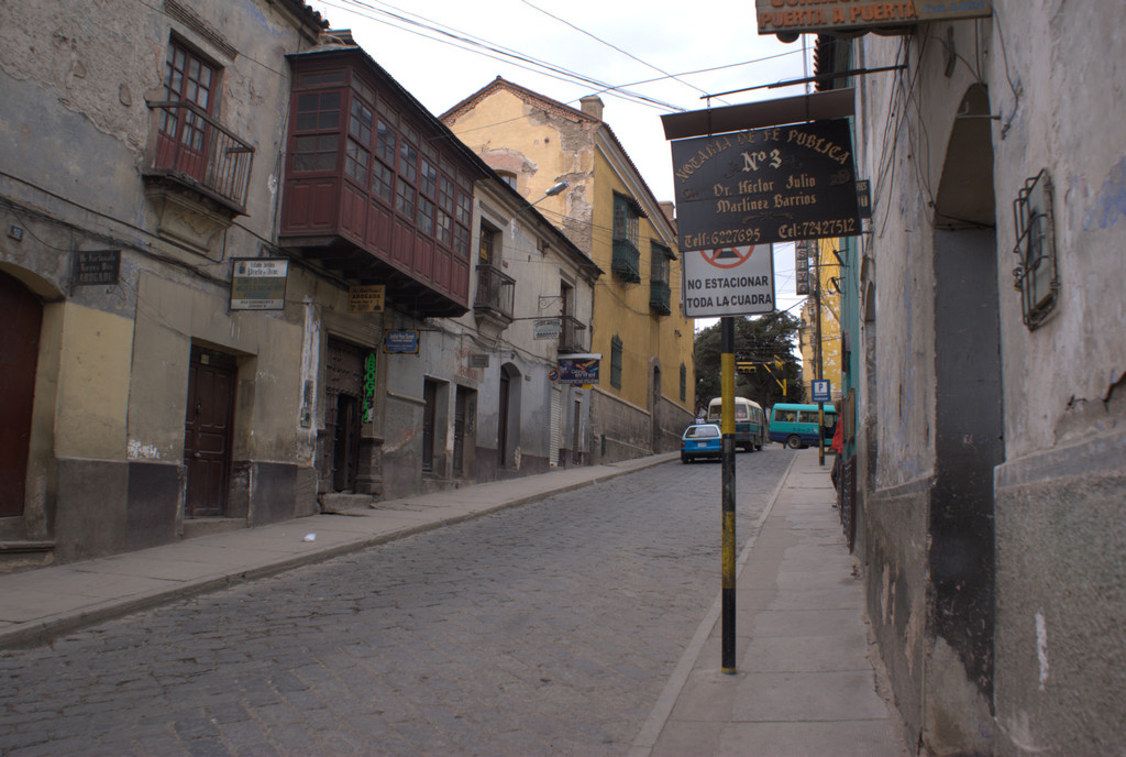
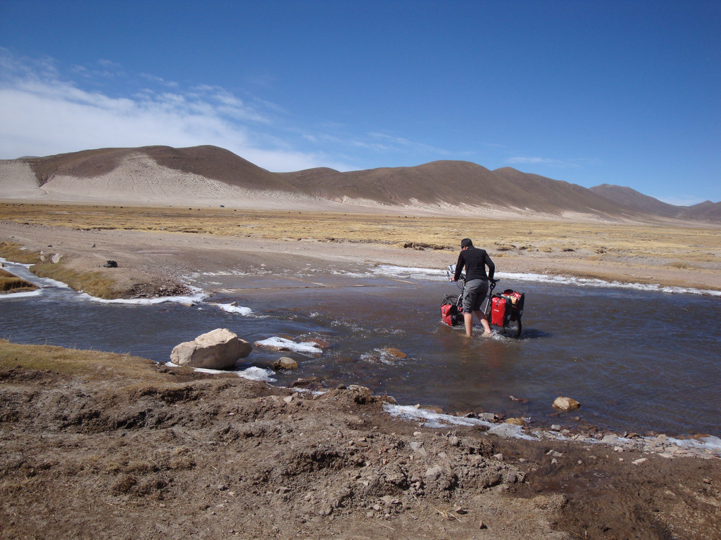
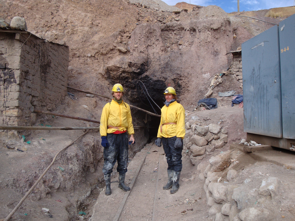
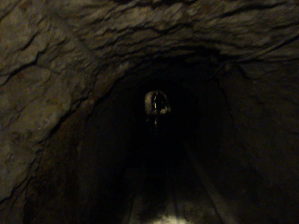
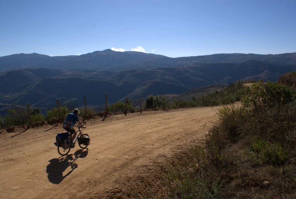
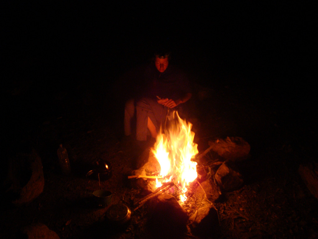
Met een leuke detour in de ochtend (we wilden de mijn zien, om vervolgens een shortcut te maken), op naar de eerste nacht kamperen!
20090915 Calama – Berg voor Atacama




















Map of the route “01 : Calama – Berg voor Atacama”: 76.35 km, 3,535 m of climbing and 1,010 m of descent, elevation between 150 m and 2,745 m, time 07:50:16. It starts at -22.46896, -68.92091 and ends at -22.62431, -68.63848 (latitude, longitude).
Total distance: 76.68 km
Max elevation: 2747 m
Min elevation: 150 m
Total climbing: 3535 m
Total descent: 1010 m
Average speed: 4.68 m/s
Total time: 07:51:21
Download file: 20090915-Calama-Berg-voor-Atacama.gpx
Max elevation: 2747 m
Min elevation: 150 m
Total climbing: 3535 m
Total descent: 1010 m
Average speed: 4.68 m/s
Total time: 07:51:21