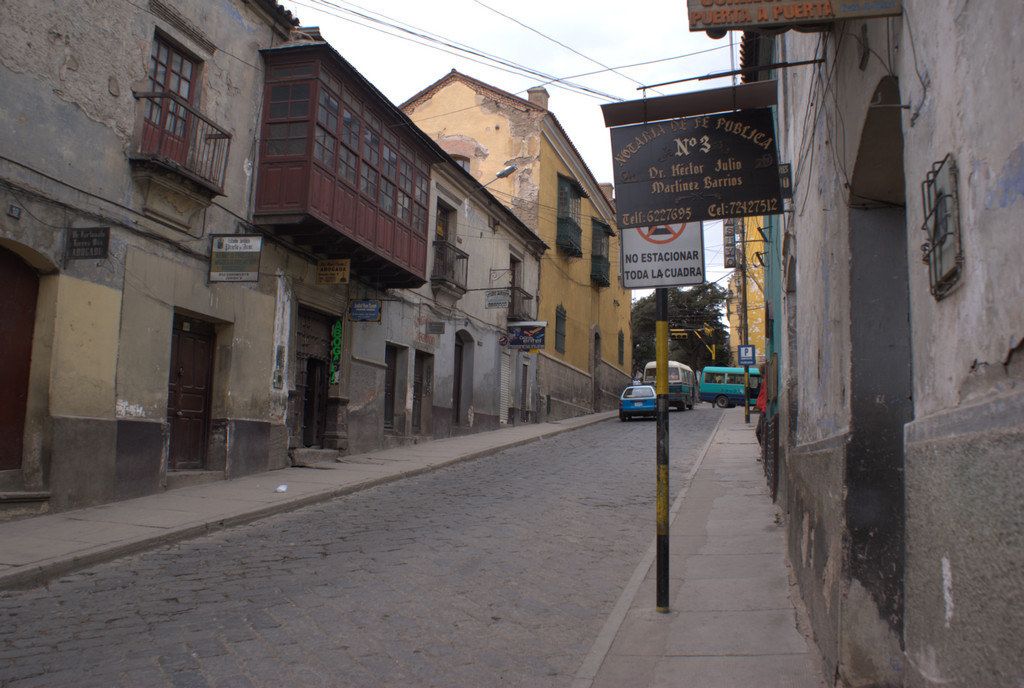
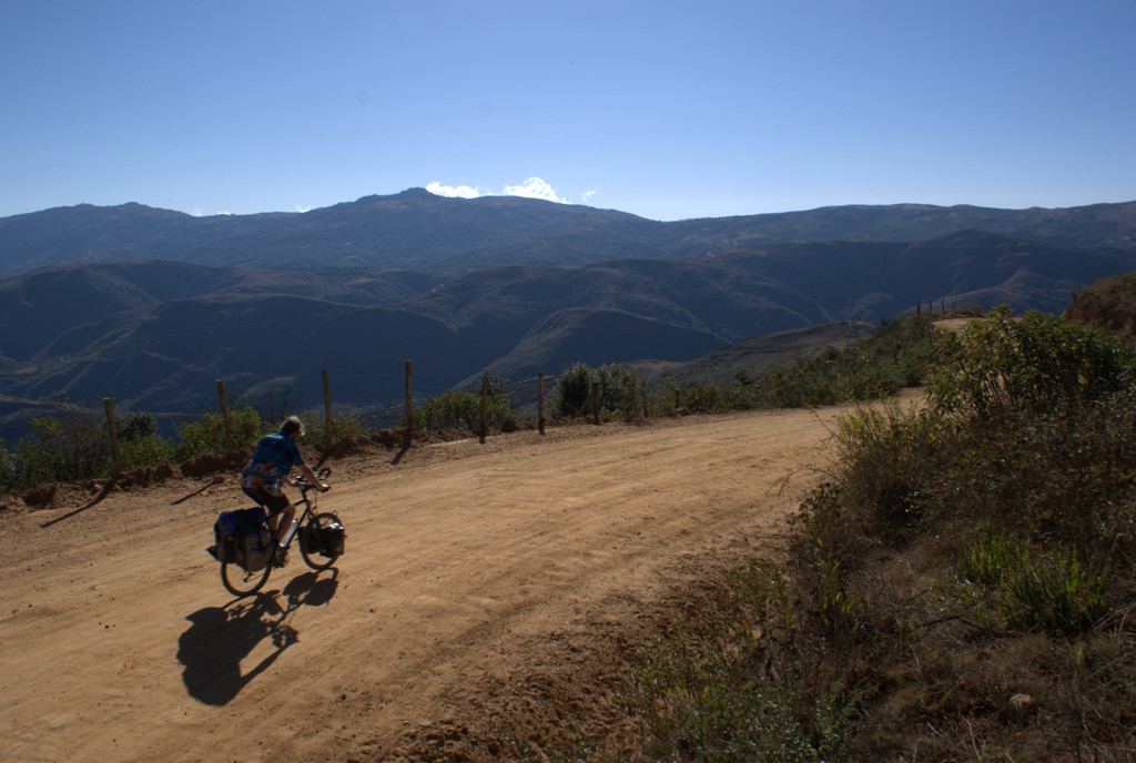
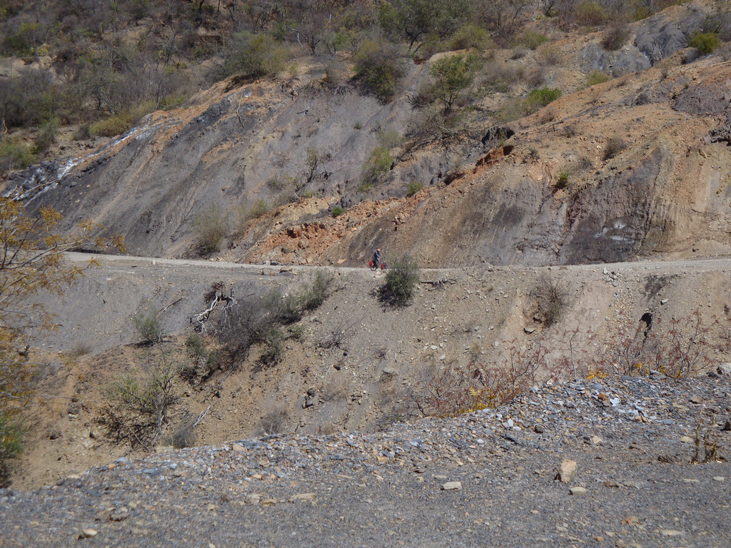
Uitgerust het laatste restje naar Potosi, wat nog best wat klimmen blijkt te zijn; Potosi ligt op 4070m!




















Map of the route “09 : Amfitheater – Potosi”: 35.57 km, 1,112 m of climbing and 1,037 m of descent, elevation between 3,717 m and 4,140 m, time 04:51:23. It starts at -19.73897, -65.90845 and ends at -19.59027, -65.75501 (latitude, longitude).
Total distance: 35.59 km
Max elevation: 4140 m
Min elevation: 3717 m
Total climbing: 1112 m
Total descent: 1037 m
Average speed: 4.98 m/s
Total time: 04:52:53
Download file: 20090926-Amfitheater-Potosi.gpx
Max elevation: 4140 m
Min elevation: 3717 m
Total climbing: 1112 m
Total descent: 1037 m
Average speed: 4.98 m/s
Total time: 04:52:53