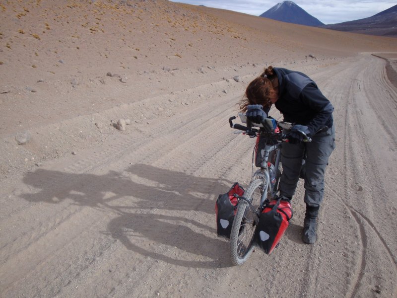
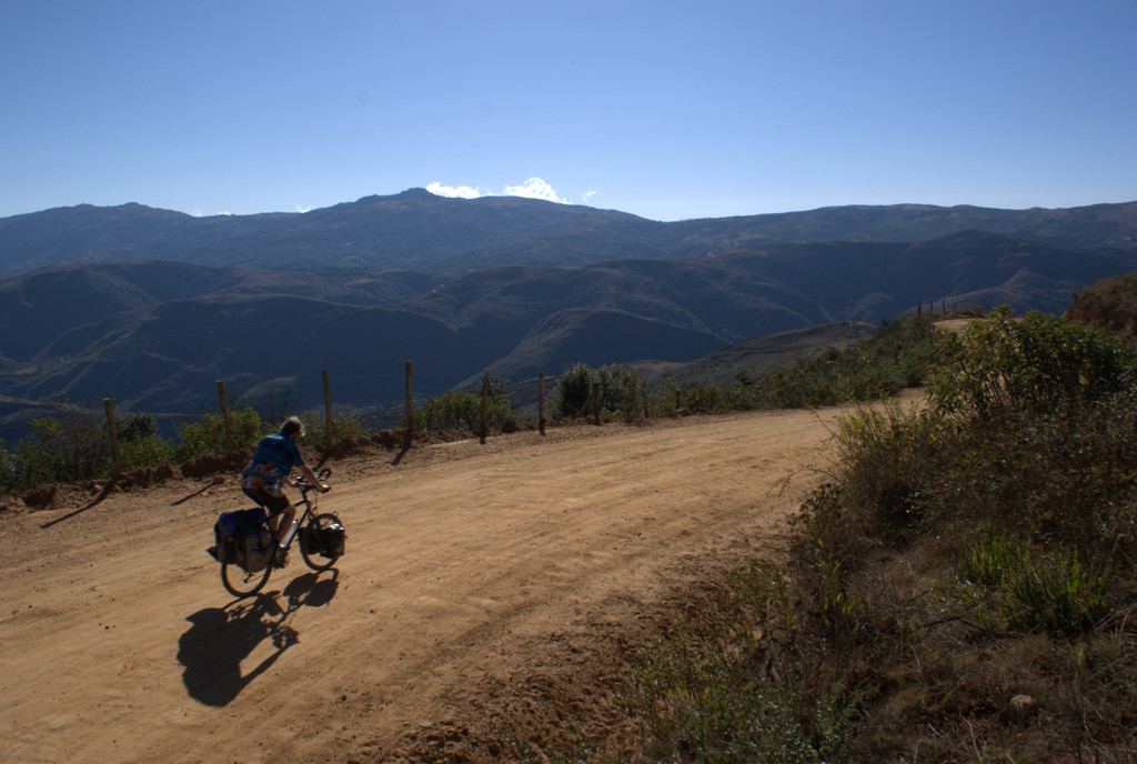
Wies is ziek, dus we gaan wat langzamer dan normaal. Onderweg komen we meerdere echte racefietsers tegen die even Sucre-Milares heen en weer doen.




























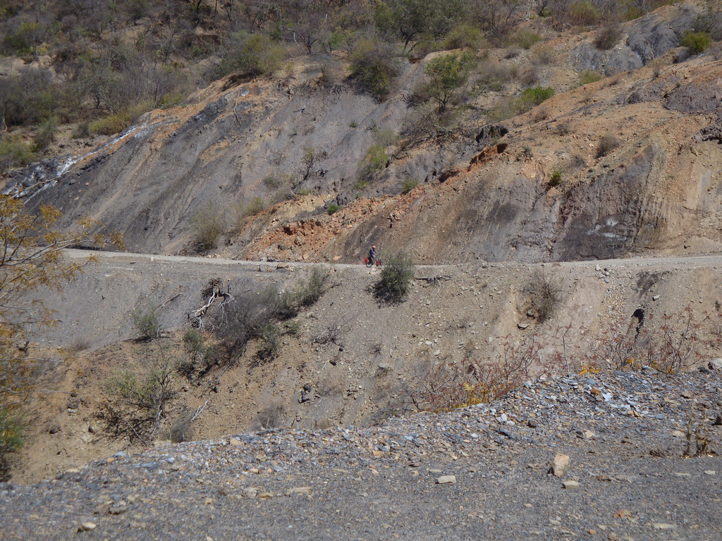


Map of the route “11 : Milares – Sucre”: 57.22 km, 1,345 m of climbing and 866 m of descent, elevation between 2,259 m and 2,894 m, time 08:16:56. It starts at -19.41953, -65.18722 and ends at -19.04892, -65.26321 (latitude, longitude).
Total distance: 57.36 km
Max elevation: 2894 m
Min elevation: 2259 m
Total climbing: 1345 m
Total descent: 866 m
Average speed: 4.79 m/s
Total time: 08:21:26
Download file: 20090929-Milares-Sucre.gpx
Max elevation: 2894 m
Min elevation: 2259 m
Total climbing: 1345 m
Total descent: 866 m
Average speed: 4.79 m/s
Total time: 08:21:26