De laatste dag van de doorsteek.
20090819 La Pajcha II – Samaipata




















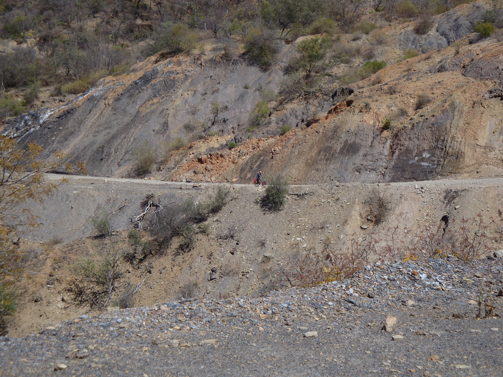
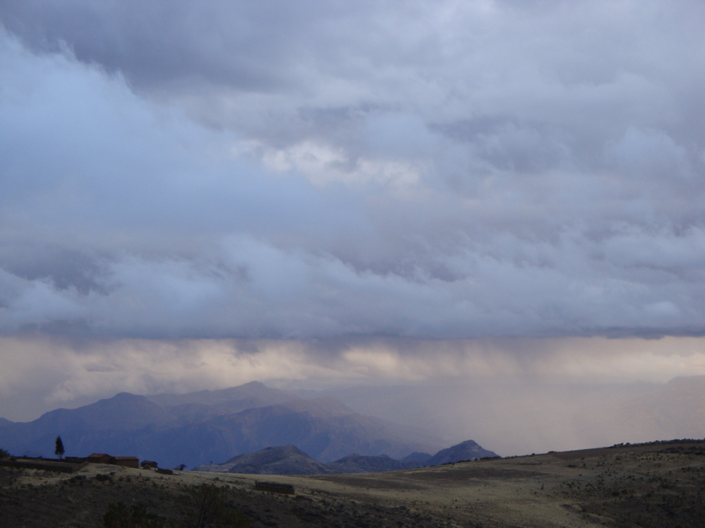


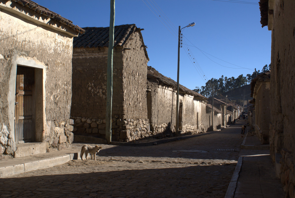
Map of the route “20 : La Pajcha II – Samaipata”: 41.16 km, 1,132 m of climbing and 1,174 m of descent, elevation between 1,461 m and 1,947 m, time 06:01:38. It starts at -18.40258, -63.82207 and ends at -18.17993, -63.87609 (latitude, longitude).
Total distance: 41.25 km
Max elevation: 1947 m
Min elevation: 1460 m
Total climbing: 1132 m
Total descent: 1174 m
Average speed: 3.91 m/s
Total time: 06:10:38
Download file: 20090819-La-Pajcha-II-Zamaipata.gpx
Max elevation: 1947 m
Min elevation: 1460 m
Total climbing: 1132 m
Total descent: 1174 m
Average speed: 3.91 m/s
Total time: 06:10:38